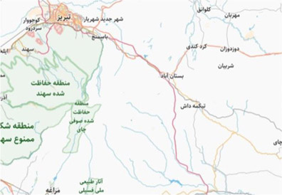
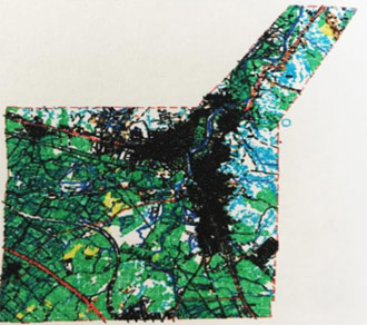
Preparation of topographic maps from aerial photographs of Bostan Abad
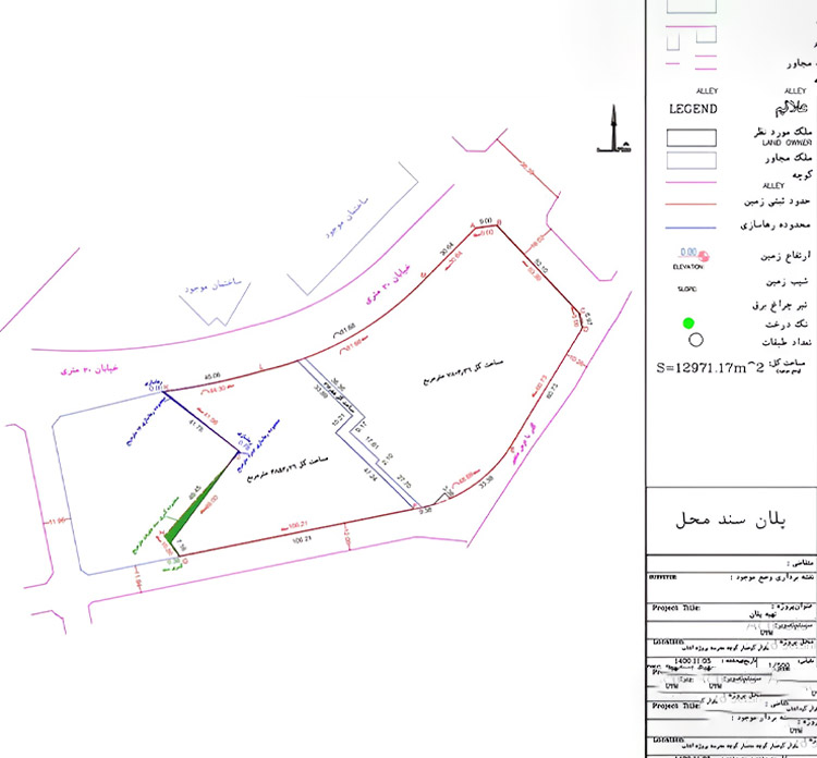
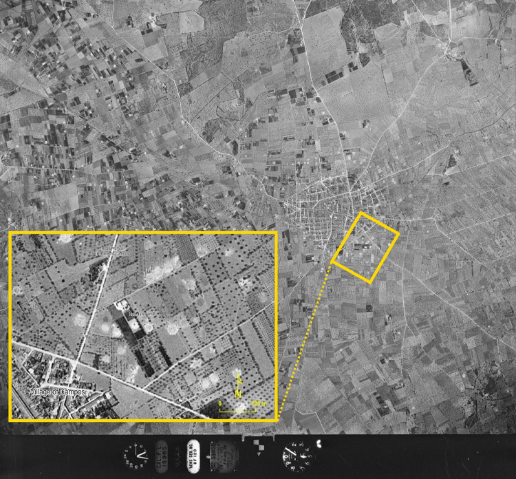
This project aims to prepare accurate topographic maps of the Bostan Abad region based on aerial photographs.The data obtained from this survey will enable optimal land management, urban development, and infrastructure planning for the municipality and other related institutions.