
Accurate and Specialized Surveying with a Modern Approach
In today’s world, spatial data and accurate mapping form the foundation of decision-making and execution in civil, urban, infrastructure, and economic projects. At Gisement, we offer a wide range of integrated and comprehensive surveying services, combining advanced technologies, a specialized team, and years of field experience. By applying modern methodologies and adhering to international standards, we effectively address the diverse needs of projects at all scales.
Surveying Services at Gisement
Our surveying services cover a broad spectrum of operations, each playing a vital role in the success of engineering and development projects:
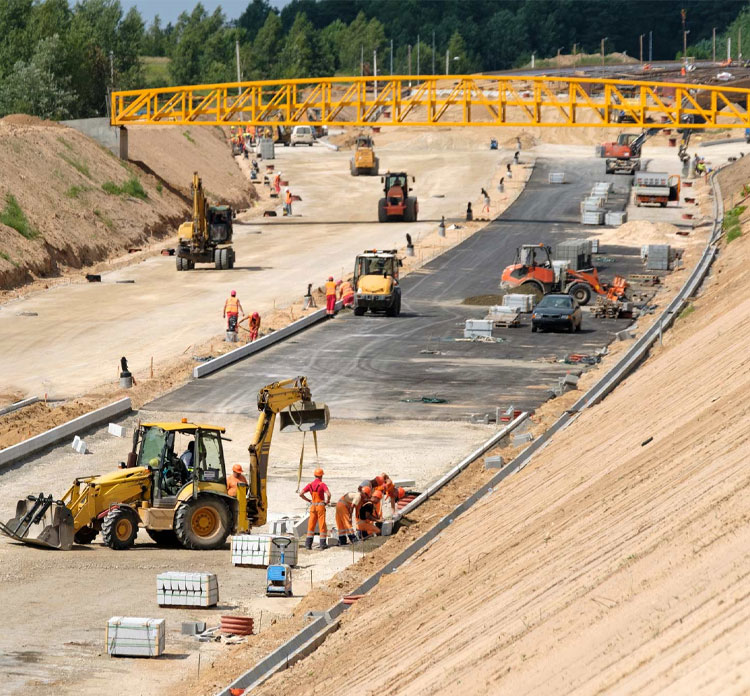
- Topographic (Land) Surveying Precise mapping of land features for civil engineering, road construction, dam building, and architectural projects.
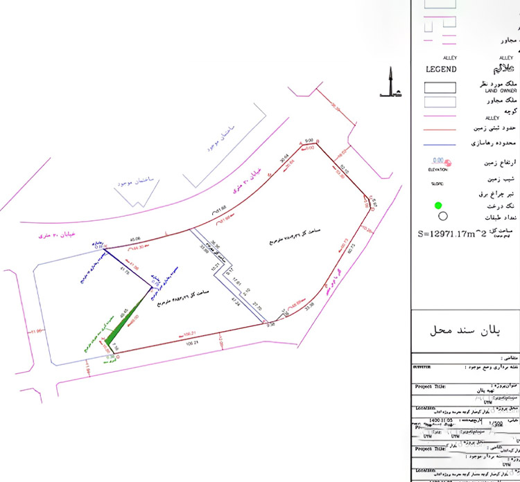
- Cadastral Surveying and Land Registration Defining property boundaries for land registration, subdivision, and ownership documentation.
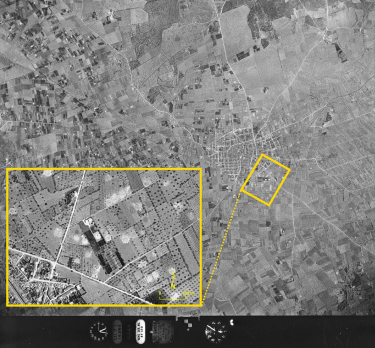
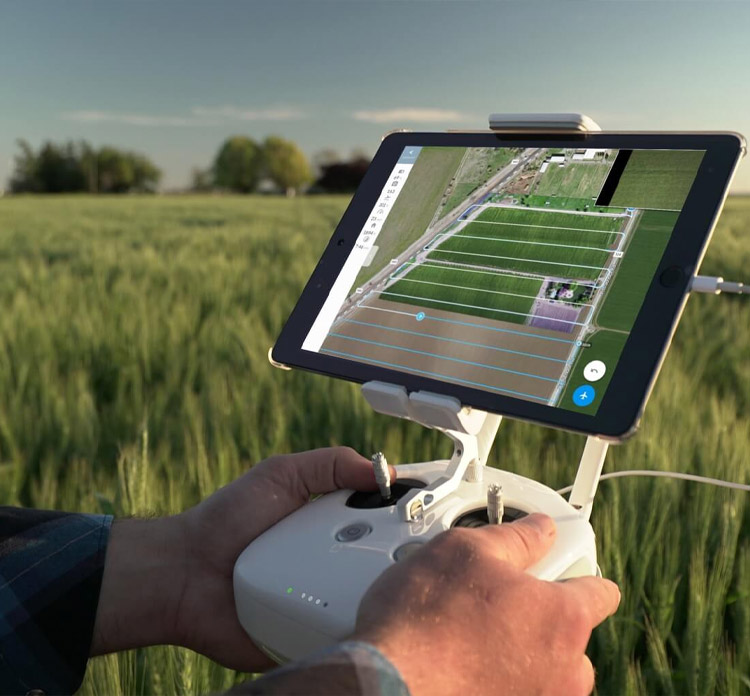
- Aerial Surveying with Drones (Photogrammetry) High-resolution aerial imagery, 3D mapping, elevation modeling, and point cloud generation.
- Industrial Surveying Laser scanning and specialized measurements for precise modeling of industrial structures, refineries, and power plants.
- Underground and Mining Surveying Mapping mine geometries and tunnel alignments; geological analysis for excavation and extraction planning.
- Hydrographic Surveying Mapping seabeds, lakes, and rivers; assessing depth profiles and aquatic terrain characteristics.
- Geodesy and Precise Positioning Applications in national-scale projects, permanent GPS stations, and monitoring crustal deformations.
- GIS Mapping and Spatial Data Systems Data generation for GIS platforms, spatial analysis, and location-based software solutions.
- Route and Alignment Surveying Design and implementation of accurate route maps for roads, railways, pipelines, and power transmission lines.
- Structural Monitoring and Deformation Analysis Monitoring settlement and displacement in buildings, bridges, dams, and other structures using high-precision instruments.
Precision in Data Collection
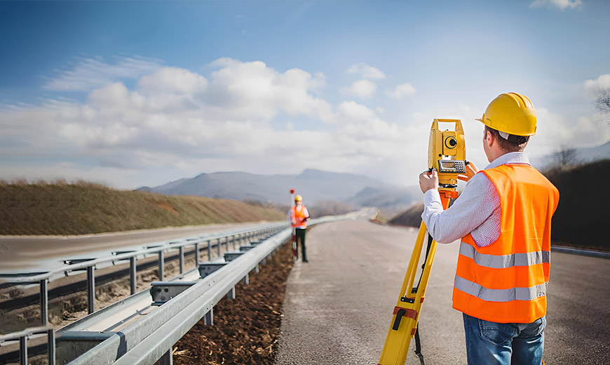
Utilizing modern instruments and advanced techniques to acquire the most accurate geospatial data.
Service Variety in Surveying
A comprehensive range of services—from ground and aerial surveys to image analysis and map production.
Client Satisfaction
Proven track record of successful projects, timely delivery, and consistent quality have earned us long-term client trust.
Precision and Quality Are Our Priorities
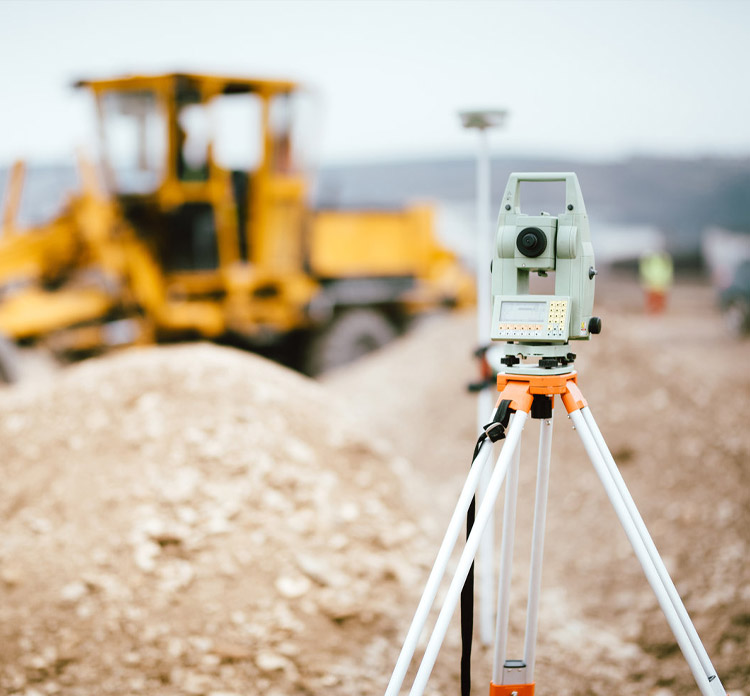
By leveraging modern equipment such as total stations, high-precision GPS, and laser scanners, Gisement delivers data that meets both national and international standards. This level of accuracy not only enhances execution speed but also significantly reduces engineering risks.
Partnering with Gisement Ensures Superior Results
If you’re looking to execute your project with precision, efficiency, and professional standards, Gisement’s expert team is ready to deliver the most reliable surveying solutions tailored to your needs.