[ Precision in Every Step, Quality in Every Map ]
Comprehensive Solutions in Surveying and Geospatial Data Processing with International Accuracy Standards
01.
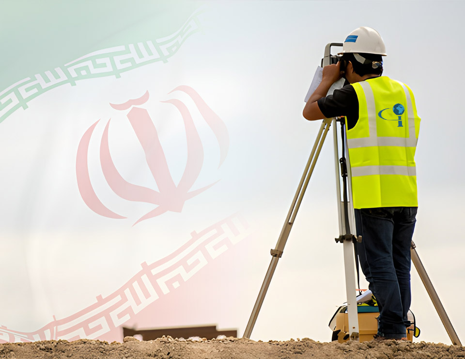
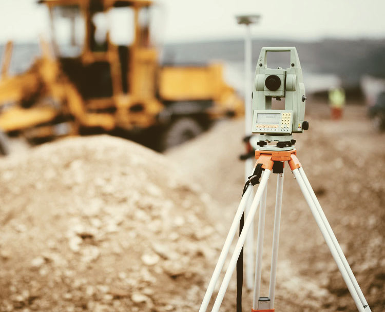
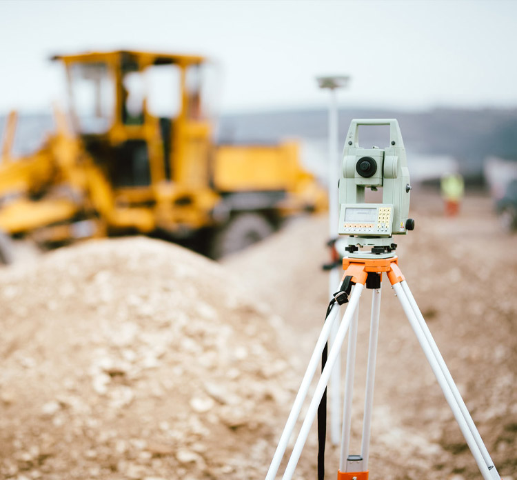
Aerial and Ground Surveying
Accurate spatial data collection from land and air using advanced technologies.
02.
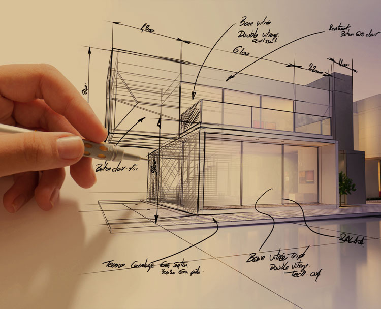
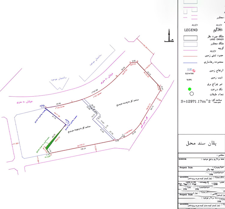
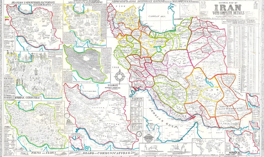
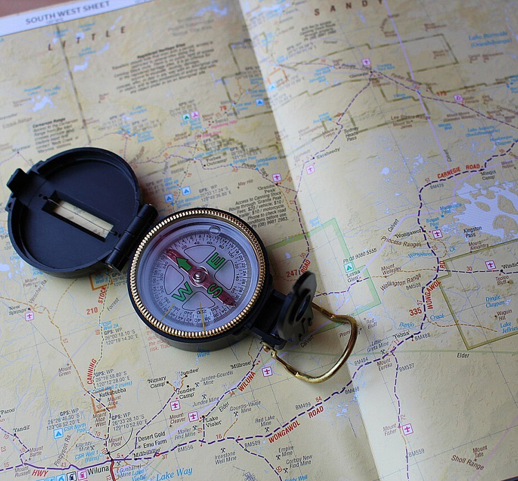
Cartography & Map Design
Transforming geospatial data into readable and practical maps for engineering and implementation needs.
03.
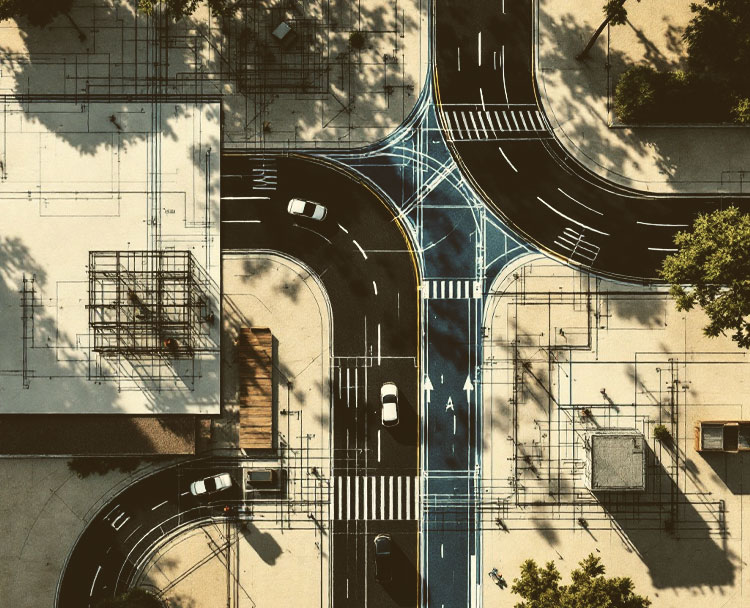
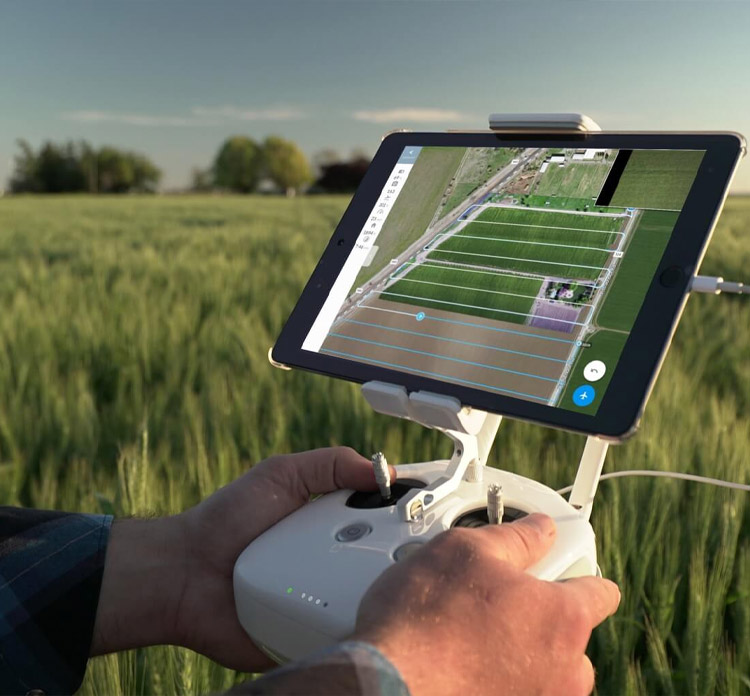
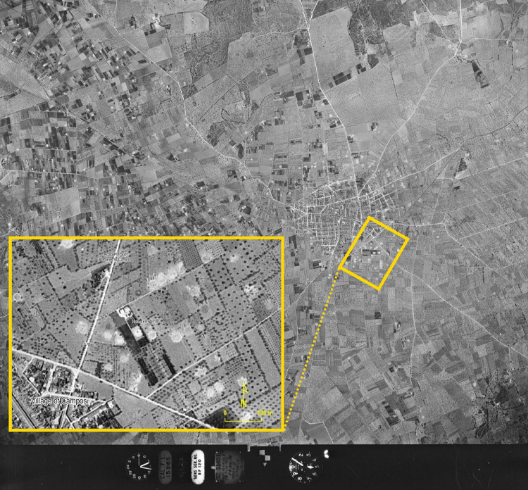
Aerial Image Interpretation
Analyzing satellite and aerial imagery to extract actionable data for various types of projects.
04.
UTM Mapping
Creating precise maps based on global coordinate systems, essential for legal documentation and infrastructure projects.